Thirty County governments receive GIS equipment to strengthen food security efforts
CATHERINE MUINDI -PCO
At least 30 county governments have received state-of the-art Geographic In formation Systems (GIS) equipment in a bid to transform agricultural planning and resource management to bolster efforts to address the country’s food security needs.
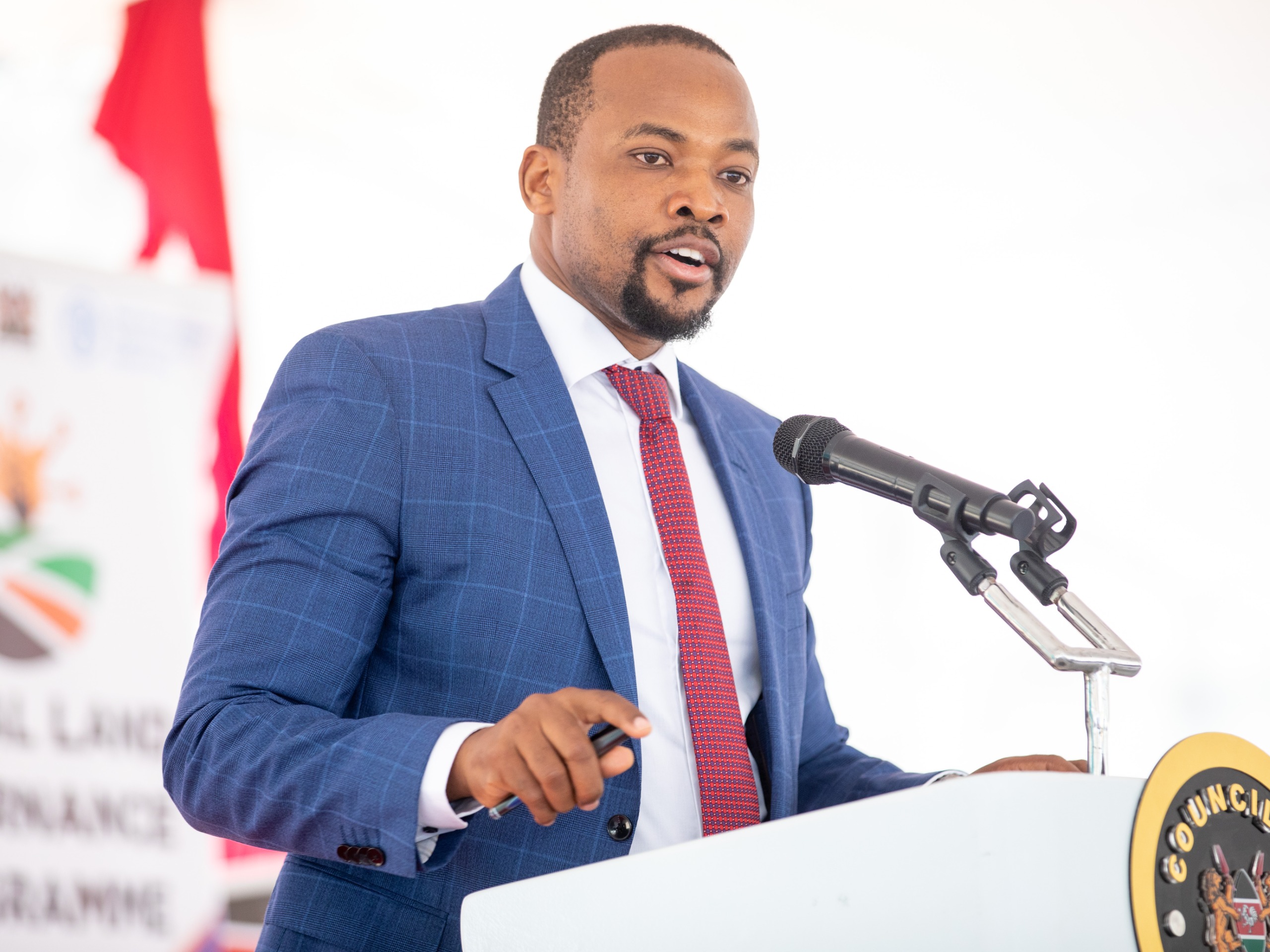
The Principal Secretary for Lands and Physical Planning Nixon Korir said the new technology will empower devolved governments to optimize land use, monitor crop health, and improve water resource al location, initiatives for enhancing food production and sustainability.
Korir said the handover included GIS equipment, an implementation guide line, a training manual, and plans for a series of specialized training sessions.
This, he emphasized, underscores the ministry’s commitment to supporting counties in adopting advanced technology for land resource management.
He commended the Council of Governors (COG) for spearheading the integration of GIS into land governance, and expressed the ministry’s alignment with county efforts to modernize and streamline land administration.
The PS also extended his gratitude to the Food and Agriculture Organization of United Nations (FAO) and the European Union (EU), who have played pivotal roles in supporting this digitization initiative.
Korir further recognized the successful digitization of land records in Nairobi through the Ardhisasa platform, along with on going efforts on Mombasa’s mainland, as significant achievements that set a strong foundation for other counties to emulate.
“This occasion marks a significant milestone in county governments’ commitment to harnessing technology, fostering innovation, and enhancing the governance of land re sources in Kenya,” said PS Korir.
He encouraged the COG to strengthen collaboration with the ministry to dis mantle information silos and improve public service delivery.
The deployment of these GIS resources, Korir noted, is expected to drive data-driven decision-making, increase land transparency, and contribute to sustainable development in the land sector.
Council of Governors Chairperson Ahmed Abdullahi, speaking at the event, emphasized that GIS tools are not merely systems but critical frameworks for understanding and tackling complex challenges.
“GIS enables leaders to make informed decisions that enhance the quality of life for our people,” he said. “With GIS, we can improve infrastructure, service de livery, and responsiveness to community needs.”
FAO Lead on Land and Natural Resource Management Husna Abdallah echoed these sentiments, saying, “Digital technolo gies, especially geospatial and earth observation tools, are essential for sustainable development and economic growth, particularly in developing nations.
“These technologies support decision-making across diverse areas such as land suitability analysis, resource allocation, land use planning, and early warning systems for dis aster mitigation.
Kenya is ready to adopt these tools, which are crucial drivers of sustainable development, economic growth, food security, and environmental resilience,” he said.
The EU-FAO-funded Digital Land Governance Programme has handed over 32 GIS laboratories to the counties of Lamu, Mombasa, Taita Taveta, Garissa, Isiolo, Mandera, Wajir, Uasin Gishu, Elgeyo Mar akwet, Trans Nzoia, Kisii, Nyamira, Nakuru, Homa Bay, Busia, Migori, Kisumu, Siaya, Kajiado, Narok, Kitui, Makueni, Murang’a, Nyeri, Tharaka Nithi, Meru, Embu, Kirinyaga, Bomet, and Kwale.
Previously, nine other GIS laboratories were handed over to Vihiga, Nandi, Tana River, Lai kipia, Marsabit, Samburu, Turkana, West Pokot, and Baringo counties.

